There is a high possibility that the La Niña phenomenon will continue
On October 9, the Japan Meteorological Agency issued a press release titled "El Niño Monitoring Bulletin (No. 337) - Current Conditions in September 2020 and Outlook for October 2020 to April 2021."
In it, they highlighted the following points.
The La Niña phenomenon is believed to have been occurring since the summer
There is a 90% chance that the La Niña phenomenon will continue into the winter
It appears that a La Niña phenomenon has been occurring since summer. The cold surface water observed in the central and eastern equatorial Pacific is expected to persist through winter, resulting in continued lower-than-average sea surface temperatures in the eastern Pacific. Based on the results of El Niño prediction models, there is a high probability (90%) that the La Niña phenomenon will continue through winter . (Japan Meteorological Agency / Atmosphere and Ocean Department)
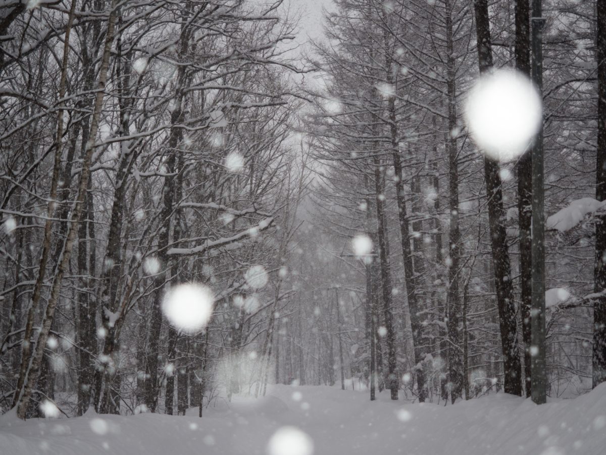
La Niña winters will be colder
The La Niña phenomenon is the opposite of the El Niño phenomenon, which causes warmer winters. Temperatures tend to rise when sea surface temperatures off the coast of Peru in Southeast America remain lower than average for an extended period of time. This results in hotter summers, and in winters, the winter-type atmospheric pressure pattern of high pressure in the west and low pressure in the east becomes stronger, making temperatures more likely to drop. This means that the winter will be known as a "cold winter," and the possibility of "a winter with lots of snow" increases
Expectations have risen sharply for this year's 2020-21 season
[blogcard url=https://www.data.jma.go.jp/gmd/cpd/elnino/kanshi_joho/kanshi_joho1.html]