How will the snow develop this winter? Tetsuji Hyodo, a skier who frequents Zao during the season and a weathercaster at a Yamagata TV station, is known as "Japan's most skied weather forecaster," and he gives his predictions for the snow in the 2025-2026 season. To ensure you get the most powder this winter and have the best season yet, let's get a head start on "how to predict winter."
The most skiing weather forecaster in Japan

Hello everyone! My name is Hyodo Tetsuji, and I am a weather forecaster and weather presenter in Yamagata.
I'm originally from Kobe, Hyogo Prefecture, but I've been skiing several times a year since I was in elementary school. Then, after I turned 40, I came to Yamagata to work as a weather forecaster, and I've been completely immersed in skiing in the winter. Last season, I skied for over 50 days, and I'm proud to say I'm the weather forecaster who skis the most in Japan (laughs).
As a skier and weather forecaster myself, I will be explaining what kind of winter the 2025/2026 season will be, so please stay tuned.

El Niño and La Niña phenomenon
This article will explain the three-month forecast released by the Japan Meteorological Agency on Tuesday, November 25th, covering the period from December to February. Before delving into the details of the three-month forecast, let's first take a look at the status of the El Niño and La Niña phenomena, which are important in long-term forecasts.
This refers to a change in the bias of sea surface temperatures in the tropical Pacific Ocean. When temperatures are lower in the west and higher in the east than average, this is called an El Niño phenomenon, and when temperatures are higher in the west and lower in the east, this is called a La Niña phenomenon. As shown in the figure, it is known that in winter, the winter pressure pattern weakens during El Niño events, and strengthens during La Niña events.


So, which situation are we in now? The latest El Niño monitoring bulletin (released on November 10th) states that "We are in a normal state with neither El Niño nor La Niña occurring, but the situation is close to that of a La Niña phenomenon," suggesting that we can expect a stronger winter-type atmospheric pressure pattern than normal.
3-month forecast from December to February
So, let's take a look at the three-month forecast with great anticipation!
The three-month forecast shows the probability of occurrence of average temperature, hours of sunshine, precipitation, and snowfall on a three-level scale: low (little), average, and high (heavy).
First, the average temperature for the three months

Temperatures are generally around average in most areas, but looking more closely, Okinawa and Amami are showing signs of lower temperatures, western Japan is around average, and eastern and northern Japan are showing slightly higher temperatures.
Next, the most interesting thing is the amount of snowfall.

All regions are expected to see average snowfall, but the Sanin region is seeing slightly more snow than the rest of the country. Combined with the temperatures reported earlier, it appears that temperatures in western Japan will be average or lower than normal, resulting in more snow.
Let's summarise what has been revealed so far.
- Winter patterns may intensify due to La Niña-like conditions
- Temperatures tend to be lower in the west and higher in the north
- Snowfall will be slightly higher in the west, with average levels in eastern and northern Japan.
What is interesting about this is that although temperatures in northern and eastern Japan tend to be slightly higher, snowfall is average.
What we can infer from this is that the influence of the La Niña phenomenon can strengthen winter pressure patterns. Also, the sea surface temperature of the Sea of Japan has been high in recent years, which is thought to be supplying more water vapor to the monsoon winds.
Next, we'll look at the monthly forecast.
Predicting December from the latest one-month forecast (announced on November 27th)
First, let's look at December. This is not the three-month forecast for December, but the latest one-month forecast (as of November 27th).


In fact, the latest one-month forecast has undergone significant changes.
This is because this week, as we enter December, a cold wave of the same magnitude as the New Year's holiday is suddenly coming, but the release of cold air changes suddenly and is difficult to predict compared to the movement of the Pacific high pressure system in summer.
For this reason, we recommend that you regularly check the latest weekly forecast and two-week temperature forecast to quickly grasp the trend of cold air. Looking at the latest one-month forecast again, we can see that the amount of precipitation is high on the Sea of Japan side and low on the Pacific side, and that the winter pressure pattern will strengthen.
Temperatures are expected to be low in western Japan and high in northern Japan, creating a pattern known as a warm north and cold west. This is a pattern in which cold air flows in from western Japan, not just in northern Japan.
In this warm north and cold west pattern, cold air enters western Japan as a low pressure system develops and moves over the Sea of Japan, but southerly winds blow into northern Japan, causing a föhn effect, which raises temperatures and may cause rain or wet snow to start falling. After the low pressure system or cold front passes, a winter-type pressure pattern develops, causing snow to fall. For this reason, it is important to be careful of changes in snow quality and avalanches.
On the other hand, before a low pressure system approaches, you may be blessed with sunny weather that could be called THE DAY, so if you are hoping for sunny weather, be sure to check the timing of the approaching low pressure system.
What will happen in January?
Next is January. This is a three-month forecast, but there is no monthly snowfall amount, so we look at the average temperature and precipitation.


January will also see a warm north and cool west trend, but as it is the coldest time of the year, snow will fall in the mountains of eastern and northern Japan. Western Japan will also see a trend of low temperatures, so there will be times when snow falls at ski resorts in western Japan.
The biggest point to note for January is that the Pacific side of northern Japan is also expected to experience higher than average precipitation. This is thought to be due to the low pressure system that will develop and pass through northern Japan, as mentioned in the December section.
This pattern doesn't mean that snow or blizzards continue for days, but rather that the southerly wind blows, causing a cycle of sunny → rain (or snow) → snow → sunny weather to repeat. In other words, if you time it right, you may have a better chance of hitting THE DAY or finding some fresh powder.
Please be sure to check the weather forecast frequently. Please be careful as weak layers are more likely to form when low pressure systems pass through, so be careful of avalanches in BC.
So what about February?


February is still a long way off, and forecasts vary widely, but it looks likely that temperatures and precipitation will be about average nationwide. However, looking more closely, there will be relatively more precipitation along the Sea of Japan coast, so there may still be times when winter pressure patterns will develop. There may be a chance for powder snow in northern Japan and at high-altitude ski resorts.
Summary of predictions for this winter
What do you think? In summary, I think this winter will be a season where you can fully enjoy skiing and snowboarding. The key point is that rather than a prolonged winter pattern, there is a high possibility of a dramatic change in the weather, so we can also look forward to pecan powder in the peak season.
There is a possibility that temperatures will rise rapidly from February onwards, but if there is sufficient snow by January, as was the case last season, it should be a relatively long season in which we can enjoy the snow.
Snow is expected this week, so get your gear ready now and make the best start to the season!
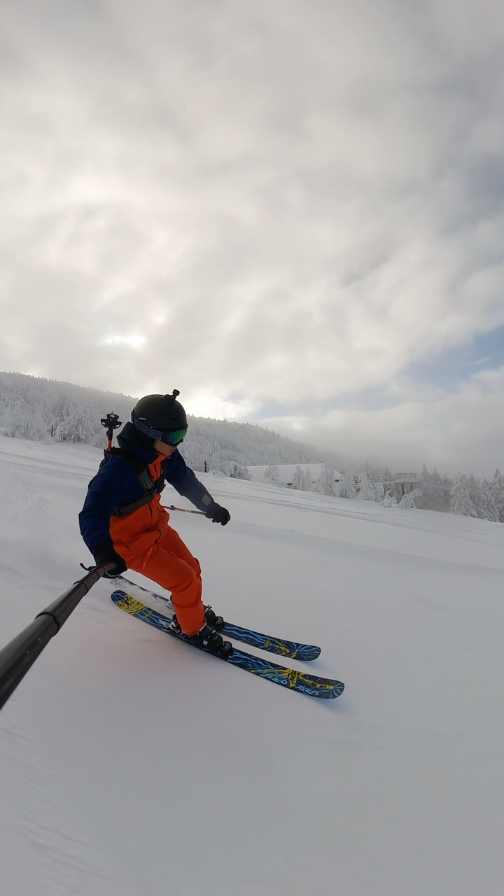
I too am looking forward to climbing up the mountain soon and conducting on-site research like this!
▼During field survey last season